
Florida’s Fall Forecast: Pumpkins, Palm Trees, and Possibly a Hurricane
Florida’s Fall Forecast: Pumpkins, Palm Trees, and Possibly a Hurricane
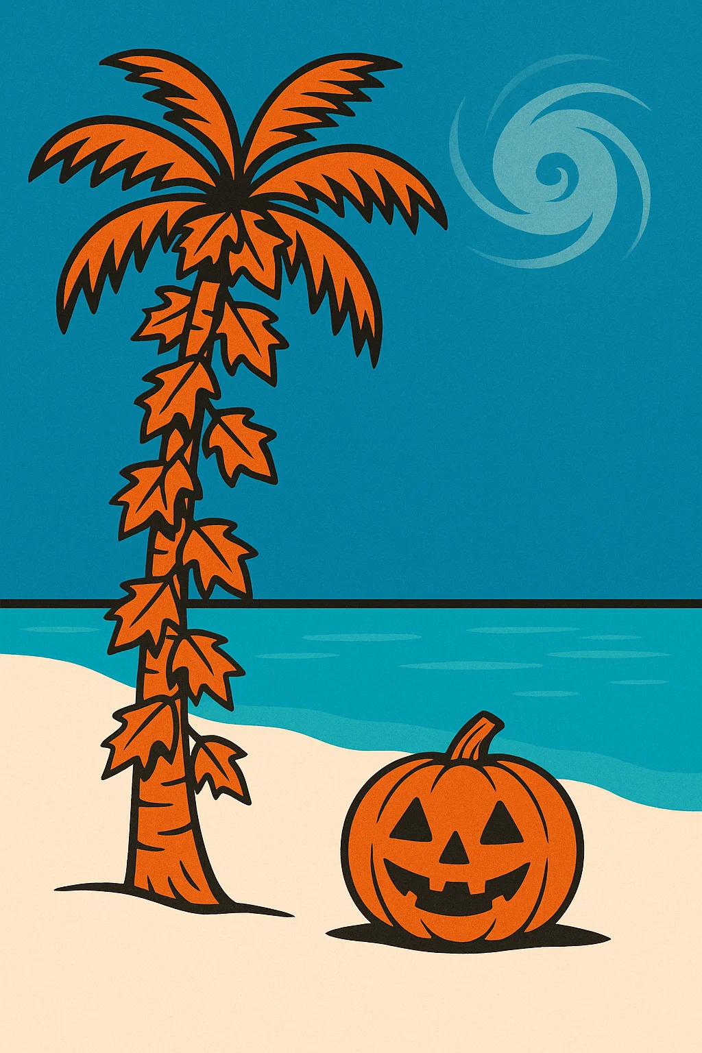
TL;DR: Florida doesn’t really “do” fall like the postcards. We trade crunchy leaves and sweater weather for lingering heat, a slow fade in humidity, and—yes—an overlap with the most active stretch of hurricane season. Here’s what “fall” actually means in the Sunshine State (with real sources), plus how to lean into the season Florida-style.
Does “Fall” Even Exist Here?
Across most of Florida, the calendar’s idea of fall (cool, crisp air and blazing foliage) doesn’t match the climate. Meteorologists and water managers commonly describe Florida as having two main seasons: a warm/wet season and a cooler/drier season. In East-Central Florida, for example, the National Weather Service (NWS) Melbourne characterizes the climate as a subtropical wet-dry regime, with the dry season typically beginning in October. The statewide climate summary from Florida State University’s Florida Climate Center adds that the fall dry season begins in North Florida in September and spreads southward, reaching extreme South Florida around mid-November.
Farther south, the South Florida Water Management District notes the region’s year splits cleanly between a wet season (roughly May/June–October) and a dry season (November–May), with about 70% of annual rain falling in the wet months (SFWMD; see also their wet-season updates here and a typical May 15–Oct 15 window here and here).
Why Our “Fall” Feels Different
- Small temperature swings: We don’t get the big cool-downs typical of temperate climates. The change you notice first is often humidity easing and fewer daily thunderstorms. See the NWS discussion of median dry-season onset dates (around Oct 15 for Orlando & Daytona) here and the detailed study PDF here.
- Rainfall timing matters more than “cold”: The defining seasonal shift is from frequent convective storms (summer) to frontal systems and generally drier weather (late fall–spring). See statewide patterns in the Florida Climate Center summary.
-
Hurricane overlap: The Atlantic hurricane season runs June 1–Nov 30, with peak activity around September 10 and a historically busy window from mid-August to mid-October (NOAA; see also NOAA/AOML FAQ and NOAA NESDIS). Even in quieter years, vigilance is smart.

Okay, But Is There Any Fall Color?
Yes—especially in North Florida and select central areas. While Florida isn’t famous for sweeping mountainside foliage, UF/IFAS highlights several species that show real color:
- Red maple, Florida maple, sweetgum, black gum, crape myrtle, bald cypress and more are documented for fall hues in UF/IFAS guides (UF/IFAS Florida-Friendly Landscaping; Panhandle lists here and here).
- Central/North Florida newspapers and extension posts also compile species with reliable color (Jacksonville.com; UF/IFAS Osceola).
Translation: You can find fall color in Florida—just not everywhere, and not all at once. And south of Orlando, it’s far subtler.
Florida’s “Fall Forecast” (Reality Edition)
- Humid, then slightly less humid: As the wet season winds down, dew points relax. Median dry-season onset dates cluster in the second half of October for much of East-Central Florida (NWS data table).
- Fewer 3 p.m. thunder boomers: Convective storms become less frequent as the sea-breeze pattern calms (NWS Melbourne study).
- Fronts start sneaking in: North Florida begins seeing more frontal rain events by early November (Florida Climate Center).
- Hurricane vigilance continues: Statistically, mid-Aug to mid-Oct is the climatological hot zone (NOAA,